
About This Camera
Bethel Airport (PABE) is the largest airport in the Yukon-Kuskokwim Delta of Western Alaska, serving as the regional hub for over 50 surrounding Yupik villages spread across an area roughly the size of Oregon. The FAA WeatherCam here monitors the flat, treeless tundra landscape — Bethel sits about 50 miles inland from the Bering Sea on the bank of the Kuskokwim River. Weather here is dominated by the maritime tundra climate: long, cold winters; brief, intense summers; and constant wind off the Bering.
PABE handles a remarkable amount of small-aircraft traffic. Alaska Airlines provides daily 737 jet service to Anchorage. Beyond that, the airport supports Yute Air, Ravn Alaska, Grant Aviation, and a fleet of Cessna Caravans, Beavers, and Otters that fly daily to Hooper Bay, Chevak, Saint Mary's, Mountain Village, Kotlik, Pilot Station, Quinhagak, and dozens of other Yupik villages. Many of those villages have no road access and depend entirely on these small planes for groceries, mail, medical care, and travel.
The Kuskokwim River is the artery of regional life. Winter freezes it solid by November and it becomes the regional "ice highway" for snowmachine and even truck travel between villages until spring breakup in May. The Kuskokwim 300 sled dog race in January is one of the premier mid-distance races in the world. The Cama-i Dance Festival in March-April brings Yupik dance groups from across the delta to Bethel for one of the largest cultural gatherings in Western Alaska.
The town itself (population around 6,300) is the regional center for healthcare, education, government services, and commerce for a population of about 25,000 across the surrounding villages. Visitors come for the Yupik culture, the salmon fishing on the Kuskokwim, the bird-watching during spring and fall migrations, and the off-the-grid wilderness experience.
Heading to Bethel (PABE)? See the weather, the light and how busy it is for yourself before you go — this is the view right now, not a photo from a brochure.
At this camera
- Location
- In Bethel, AK
- Coordinates
- 60.7773, -161.8449
- Elevation
- 38 m (125 ft)
- Sunrise / sunset
- 9:22 AM / 7:47 PM AKDT (10 h 25 min of daylight today)
- Weather station
- PABE Bethel Airport, 1 km (0.6 mi) away
Clear-day reference views
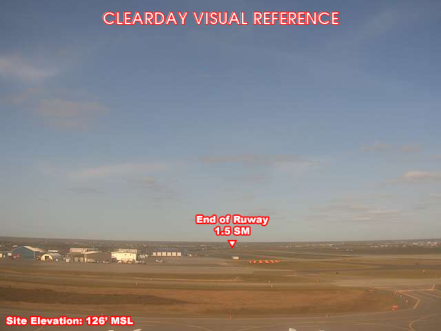
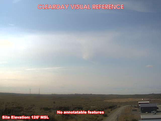
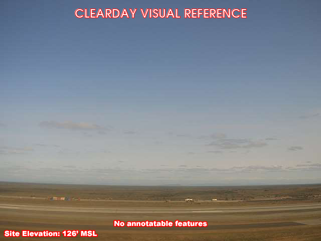
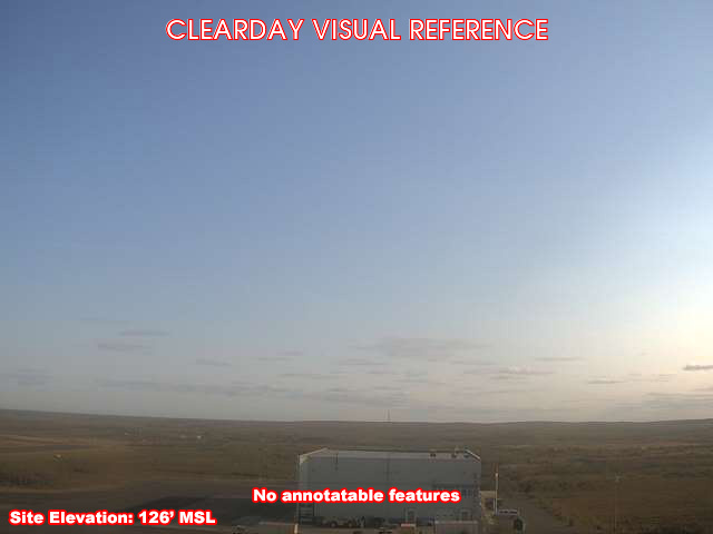
What each camera shows on a clear day, published by the FAA. Compare with the live views above: the terrain and landmarks you can no longer see tell you how far the visibility has dropped.
All Views at Bethel 4 cameras
FAA WeatherCams — PABE Auto-refresh in 300s
Fetching local weather…
Extended Hourly Forecast
Forecast data: Open-Meteo · NOAA SWPC · USGS. Conditions are estimates.
Recommended Gear


As an Amazon Associate, we earn from qualifying purchases.