
About This Camera
Kotzebue Airport (PAOT) is the largest airport in the Northwest Arctic Borough of Alaska — the regional hub for a vast Iñupiaq cultural area centered on Kotzebue Sound about 26 miles north of the Arctic Circle. The FAA WeatherCam here monitors the rapidly changing Arctic weather that controls all aviation in the region. PAOT serves about 11 surrounding villages: Buckland, Deering, Kiana, Kivalina, Kobuk, Noatak, Noorvik, Selawik, Shungnak, Ambler, and the city of Kotzebue itself (population around 3,200).
PAOT is served by Alaska Airlines with daily 737 jet service from Anchorage, plus Bering Air, Wright Air Service, and other regional carriers operating Cessna Caravans, Beavers, and Piper Navajos to the surrounding villages. The airport supports both commercial passenger service and a critical bypass-mail service that brings groceries, freight, and supplies to the villages that have no road access.
Weather here is true Arctic maritime. Sea ice forms on Kotzebue Sound by November and lasts through May. Polar night sets in by late November — the sun doesn't fully rise for about a month around the winter solstice. Conversely, the sun doesn't fully set for about a month around the summer solstice in late June. Aurora borealis is visible on most clear winter nights.
Cultural events centered on Kotzebue include the Northwest Arctic Heritage Center exhibits, the Kobuk 440 sled dog race in April (one of the most beautiful mid-distance races in Alaska), and the regional Inupiaq Days celebrations. The Kobuk Valley National Park, Cape Krusenstern National Monument, and the Selawik National Wildlife Refuge surround the area — accessible by bush flight or boat in summer, snowmachine in winter.
Heading to Kotzebue (PAOT)? See the weather, the light and how busy it is for yourself before you go — this is the view right now, not a photo from a brochure.
At this camera
- Location
- In Kotzebue, AK
- Coordinates
- 66.8915, -162.6062
- Elevation
- 6 m (20 ft)
- Sunrise / sunset
- 9:40 AM / 7:34 PM AKDT (9 h 54 min of daylight today)
- Weather station
- PAOT Kotzebue/Wien Mem, 1 km (0.6 mi) away
Clear-day reference views
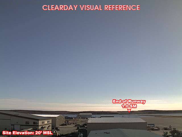
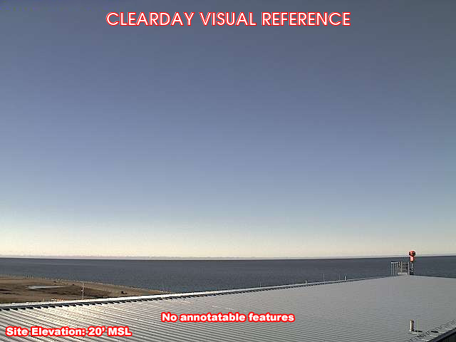
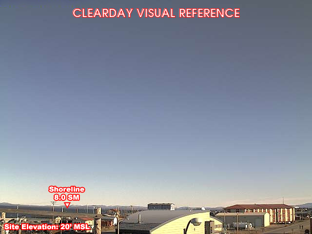
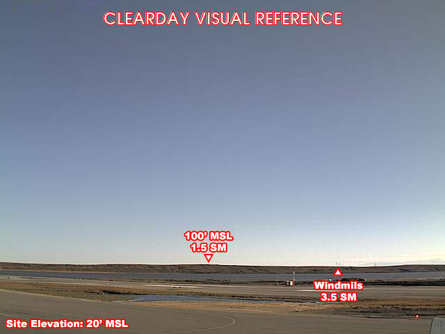
What each camera shows on a clear day, published by the FAA. Compare with the live views above: the terrain and landmarks you can no longer see tell you how far the visibility has dropped.
All Views at Kotzebue 4 cameras
FAA WeatherCams — PAOT Auto-refresh in 300s
Fetching local weather…
Extended Hourly Forecast
Forecast data: Open-Meteo · NOAA SWPC · USGS. Conditions are estimates.
Recommended Gear


As an Amazon Associate, we earn from qualifying purchases.