
About This Camera
Nome Airport (PAOM) is the gateway to the Bering Strait region of Western Alaska and the finish line of the Iditarod Trail Sled Dog Race every March. The city of Nome sits on the Seward Peninsula about 100 miles south of the Arctic Circle, accessible only by air or by snowmachine in winter. The FAA WeatherCam here monitors the rapidly changing weather that controls flight schedules — clear days alternate with snow squalls, fog banks rolling off the Bering Sea, and the occasional whiteout that can shut down operations for days.
Nome's aviation history runs deep. The town boomed during the 1899 gold rush when prospectors found gold in the beach sand of Norton Sound. Bush pilots have been a critical lifeline since the 1920s — most famously the 1925 serum run that inspired the Iditarod and the first crossings of the Bering Strait by Alaska Airways predecessors. Today's PAOM serves Alaska Airlines (daily 737 service from Anchorage), Bering Air, Ravn Alaska, and a busy general aviation community connecting Nome to the surrounding villages of Wales, Diomede, Teller, White Mountain, and Unalakleet.
Weather here is dominated by proximity to the Bering Sea. Summer days can be surprisingly warm (60s and 70s) with near-continuous daylight; winter brings polar darkness from December through January, with the sun barely clearing the horizon. Sea ice typically forms in November and lasts through May. The Iditarod arrivals at the Burled Arch on Front Street in mid-March are one of the most photographed events in Alaska, with airport traffic spiking dramatically.
Nome remains a small town (population around 3,700) with a frontier character that's been preserved by its remoteness. Visitors can drive the gold-rush-era roads, watch musk ox along the Nome-Council Highway, and explore the Bering Land Bridge National Preserve to the north.
Heading to Nome (PAOM)? See the weather, the light and how busy it is for yourself before you go — this is the view right now, not a photo from a brochure.
At this camera
- Location
- In Nome, AK
- Coordinates
- 64.5067, -165.4463
- Elevation
- 10 m (33 ft)
- Sunrise / sunset
- 9:45 AM / 7:53 PM AKDT (10 h 8 min of daylight today)
- Weather station
- PAOM Nome Airport, 1 km (0.6 mi) away
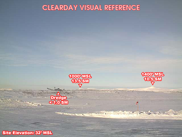
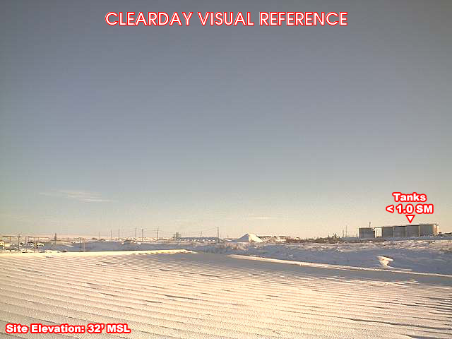
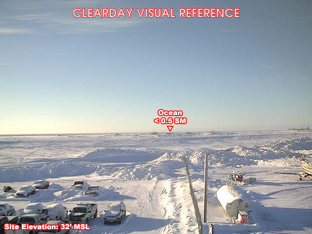
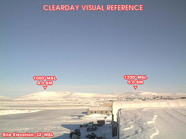
Clear-day reference views
What each camera shows on a clear day, published by the FAA. Compare with the live views above: the terrain and landmarks you can no longer see tell you how far the visibility has dropped.
All Views at Nome 4 cameras
FAA WeatherCams — PAOM Auto-refresh in 300s
Fetching local weather…
Extended Hourly Forecast
Forecast data: Open-Meteo · NOAA SWPC · USGS. Conditions are estimates.
Recommended Gear


As an Amazon Associate, we earn from qualifying purchases.