

About This Camera
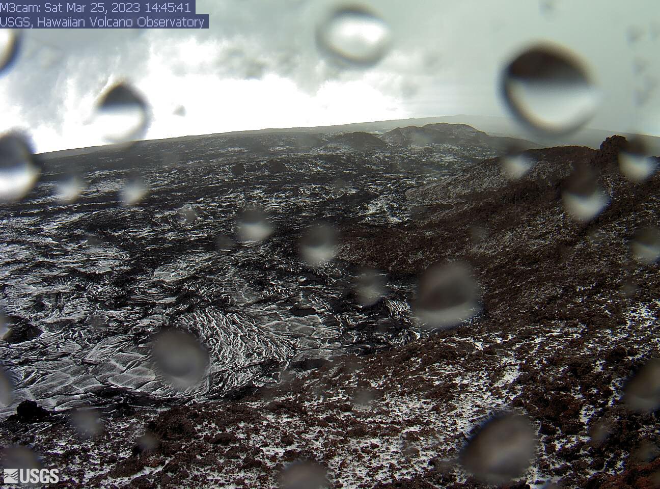
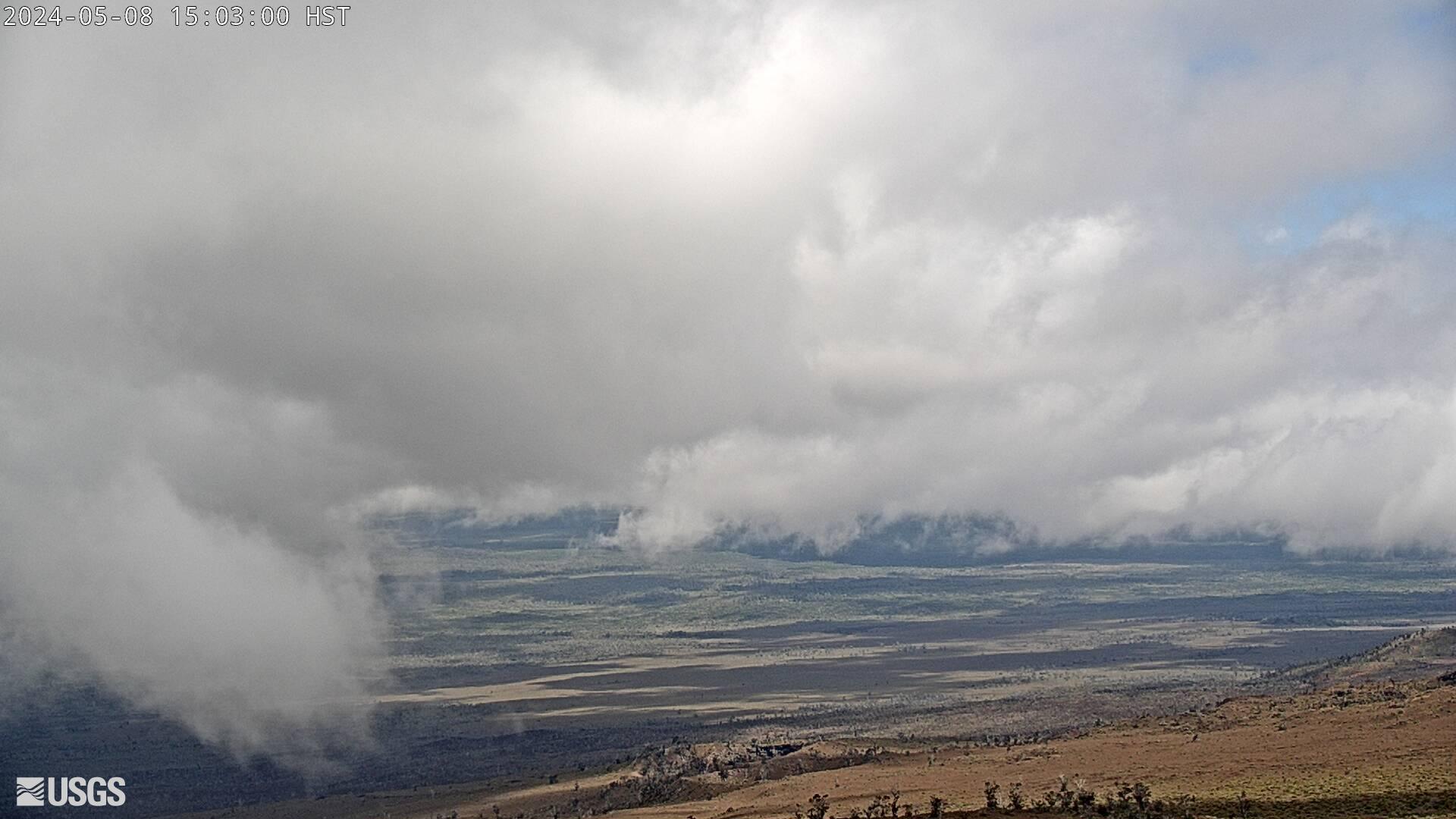
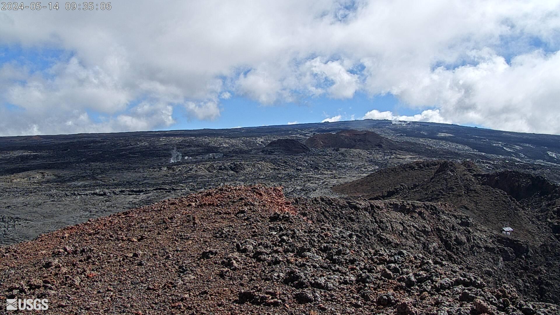
A USGS Hawaiian Volcano Observatory view (M2) of the mid Southwest Rift Zone of Kīlauea, part of the dense camera array that keeps the volcano under round-the-clock watch. This rift heads from the summit toward the island's southwest coast through the Kaʻū Desert, and the camera shows its expanse of old lava and bare ground. Should magma intrude this direction, early signs — cracking, steaming, incandescence — would show up along here. Weather is usually clear with drifting vog. Within Hawaiʻi Volcanoes National Park; Hawaii keeps one time zone all year.
Heading to Mauna Loa, Usgs? See the weather, the light and how busy it is for yourself before you go — this is the view right now, not a photo from a brochure.
At this camera
- Location
- 25 km (15 mi) E of Honaunau-Napoopoo, HI
- Coordinates
- 19.4760, -155.6080
- Elevation
- 4,131 m (13,553 ft)
- Sunrise / sunset
- 6:16 AM / 6:02 PM HST (11 h 46 min of daylight today)
- Weather station
- PHSF Bradshaw, 32 km (20 mi) away
‹/› Embed this camera on your website Free for any site — copy the code, keep the credit line.
The player stays live and auto-updates — no maintenance on your end. Feed problems? It falls back gracefully.
You Might Also Like
Fetching local weather…
Volcano & Seismic Activity
Forecast data: Open-Meteo · NOAA SWPC · USGS. Conditions are estimates.
Recommended Gear

As an Amazon Associate, we earn from qualifying purchases.