

About This Camera
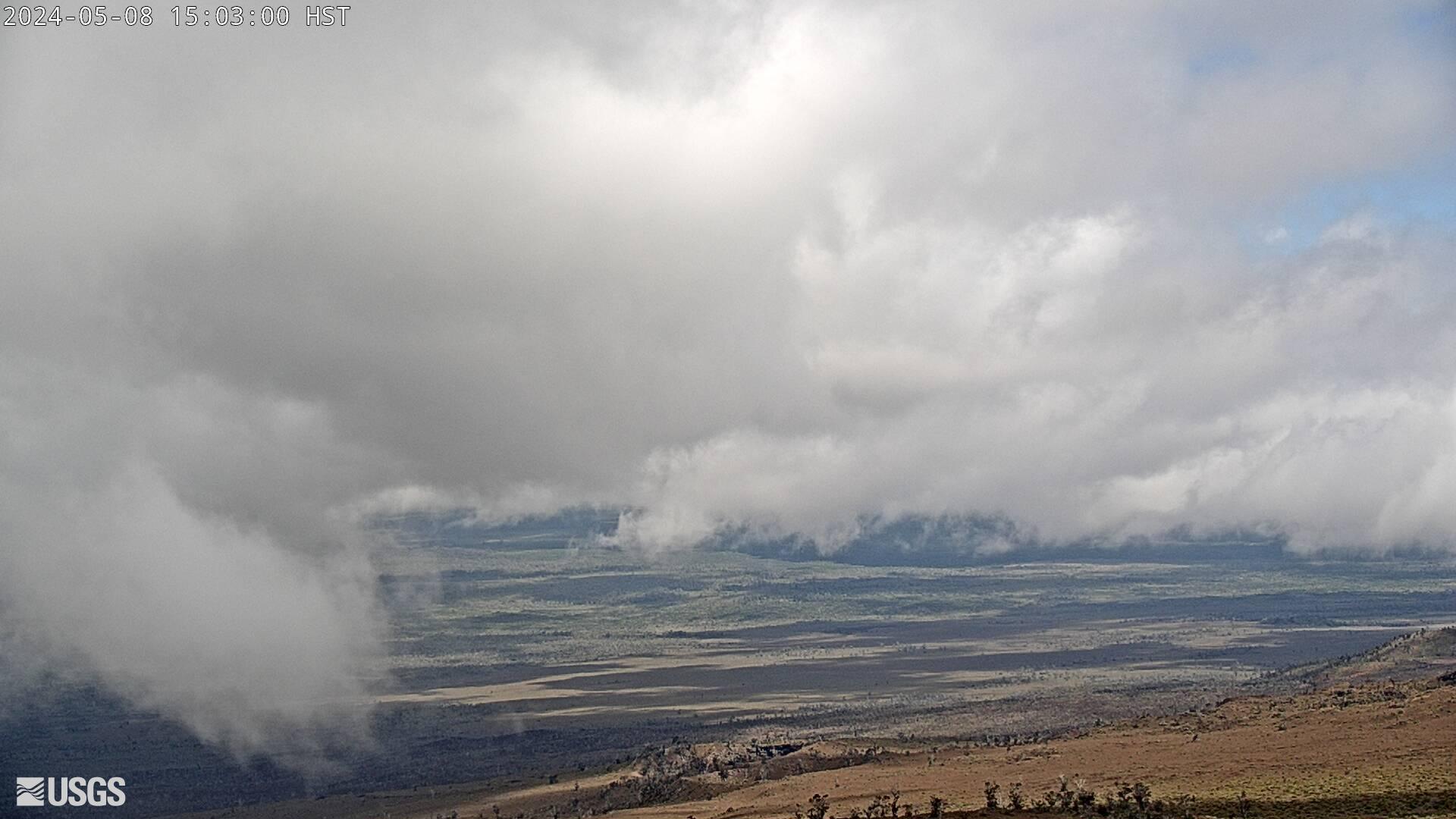
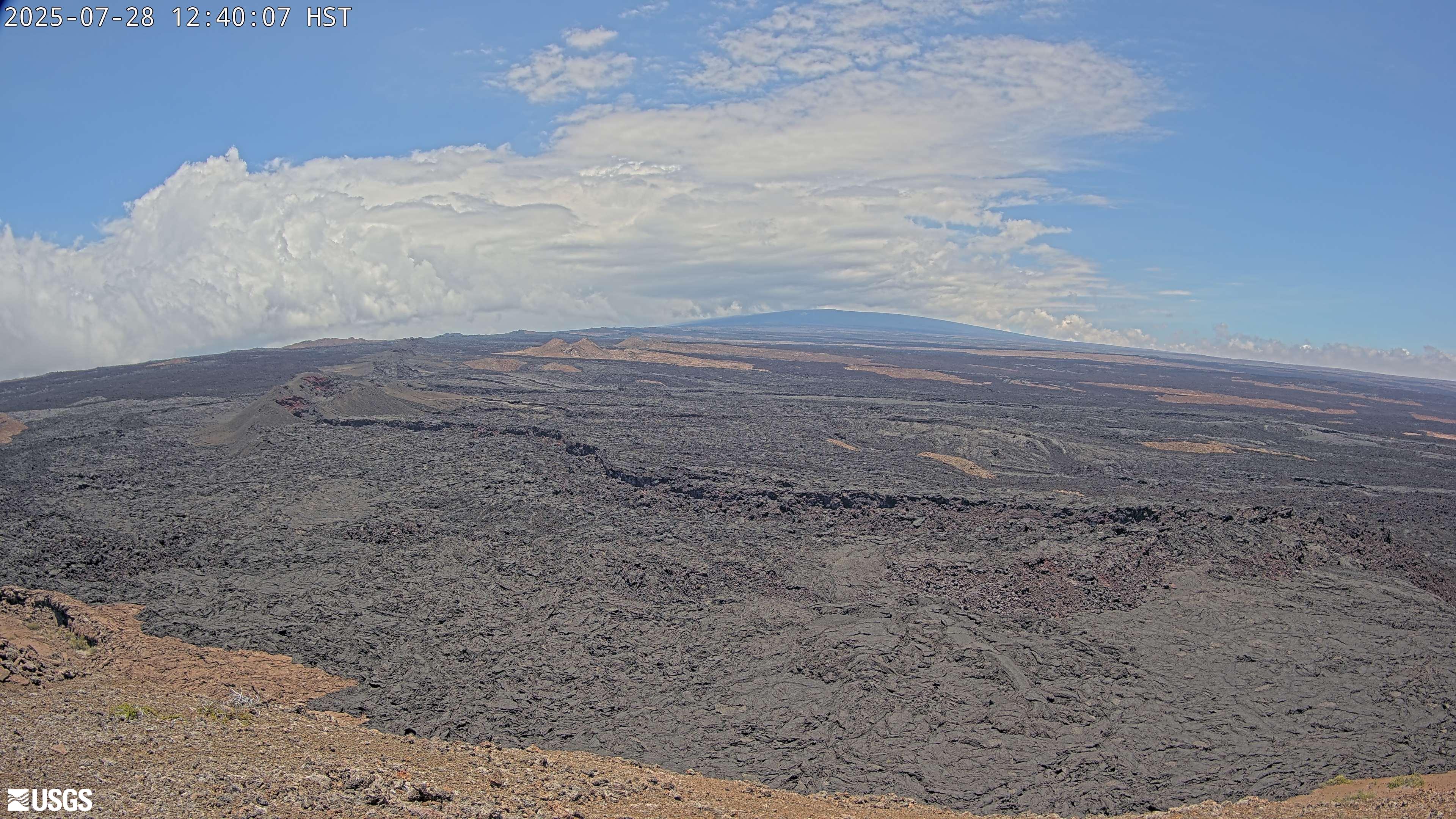
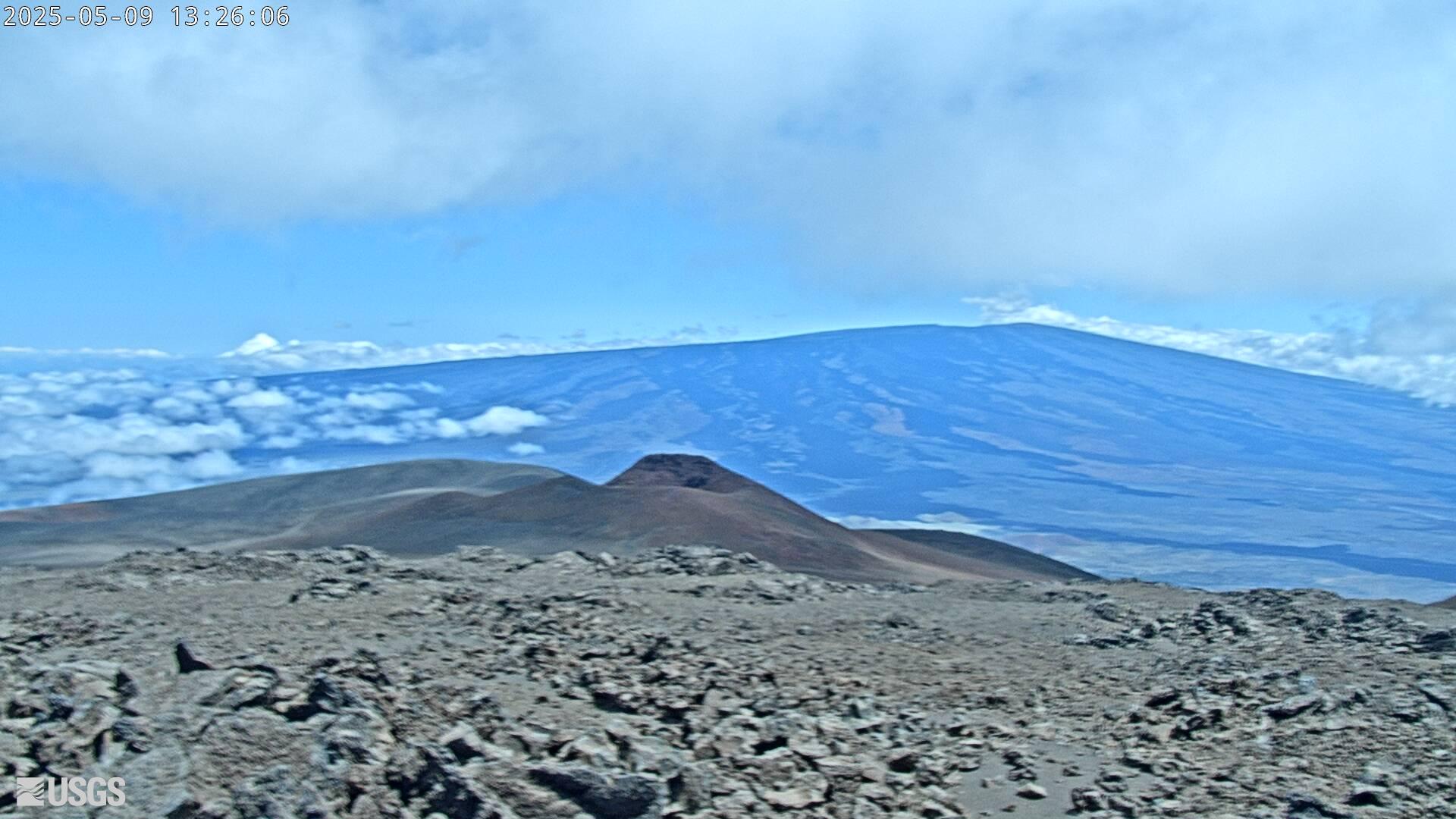
This USGS camera (M3) covers a middle stretch of Kīlauea's Southwest Rift Zone on Hawaii Island, downslope from the summit toward the Kaʻū Desert. The rift is a line of weakness where magma can travel and erupt as fissures; the view shows the cooled flows and fractured ground that mark its course. Continuous imaging here is part of how the USGS Hawaiian Volcano Observatory tracks whether the volcano's activity is migrating southwest. The arid, gas-swept landscape is typical of Kīlauea's leeward flank. Hawaii does not change its clocks for daylight saving.
Heading to Mauna Loa, Usgs? See the weather, the light and how busy it is for yourself before you go — this is the view right now, not a photo from a brochure.
At this camera
- Location
- 25 km (15 mi) E of Honaunau-Napoopoo, HI
- Coordinates
- 19.4760, -155.6080
- Elevation
- 4,131 m (13,553 ft)
- Sunrise / sunset
- 6:16 AM / 6:02 PM HST (11 h 46 min of daylight today)
- Weather station
- PHSF Bradshaw, 32 km (20 mi) away
‹/› Embed this camera on your website Free for any site — copy the code, keep the credit line.
The player stays live and auto-updates — no maintenance on your end. Feed problems? It falls back gracefully.
You Might Also Like
Fetching local weather…
Volcano & Seismic Activity
Forecast data: Open-Meteo · NOAA SWPC · USGS. Conditions are estimates.
Recommended Gear

As an Amazon Associate, we earn from qualifying purchases.