

About This Camera
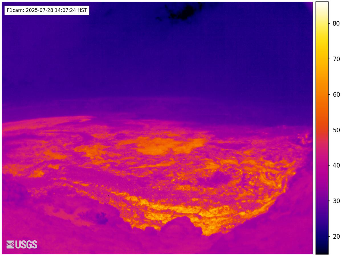
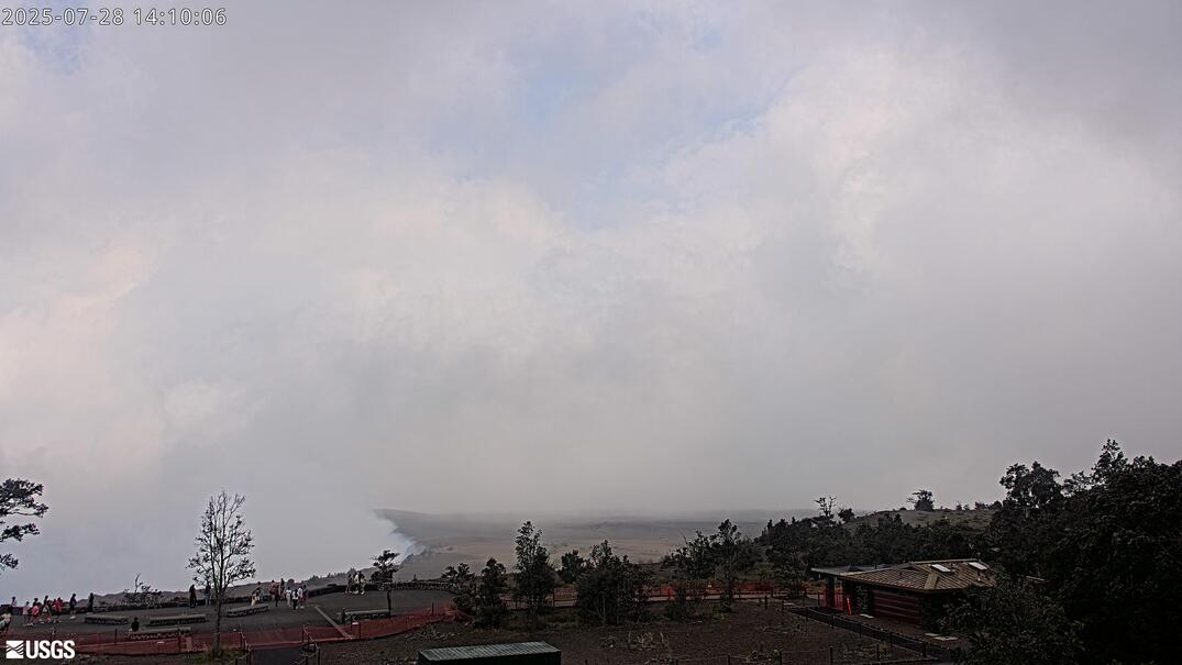
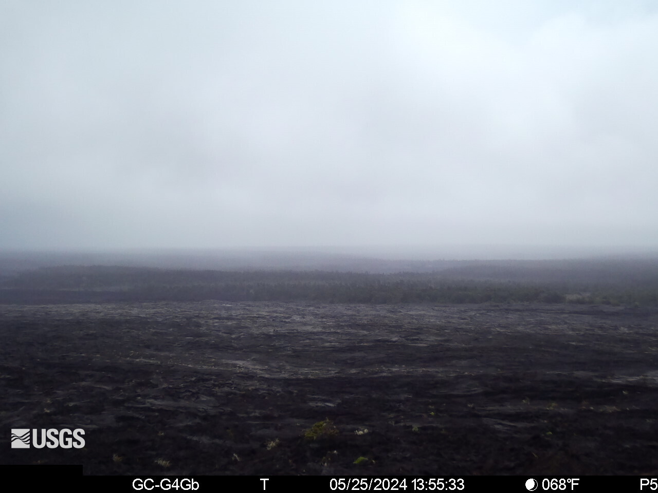
This USGS camera (B1) looks across the floor of Kīlauea's summit caldera on Hawaii's Big Island, giving a ground-level perspective on the vast crater rather than a rim overview. The view takes in the scale of the caldera reshaped by the 2018 collapse — when the summit floor dropped by more than 1,500 feet in places — and the fresh lava that subsequent eruptions have layered across it.
When Kīlauea is active, this floor-level vantage can show advancing lava, active vents, and the texture of new flows up close; in quiet times it shows the steaming, cracked expanse of cooled lava and collapse blocks. Conditions at the 4,000-foot summit shift quickly between clear air, rain, and volcanic haze. Hawaii does not change its clocks for daylight saving.
Part of the USGS Hawaiian Volcano Observatory's monitoring network in Hawaiʻi Volcanoes National Park, the camera contributes to round-the-clock tracking of one of Earth's most active volcanoes. Because eruptions can begin suddenly, the caldera-floor feed offers a dramatic, close perspective when Kīlauea comes back to life.
Heading to Kilauea, Usgs? See the weather, the light and how busy it is for yourself before you go — this is the view right now, not a photo from a brochure.
At this camera
- Location
- 2.7 km (1.7 mi) SSW of Volcano Golf Course, HI
- Coordinates
- 19.4194, -155.2885
- Elevation
- 1,242 m (4,075 ft)
- Sunrise / sunset
- 6:15 AM / 6:01 PM HST (11 h 46 min of daylight today)
- Weather station
- PHTO Hilo Intl, 42 km (26 mi) away
‹/› Embed this camera on your website Free for any site — copy the code, keep the credit line.
The player stays live and auto-updates — no maintenance on your end. Feed problems? It falls back gracefully.
You Might Also Like
Fetching local weather…
Volcano & Seismic Activity
Forecast data: Open-Meteo · NOAA SWPC · USGS. Conditions are estimates.
Recommended Gear

As an Amazon Associate, we earn from qualifying purchases.