

About This Camera
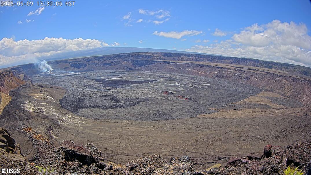
This USGS camera (K2) looks over Kīlauea Iki, a crater just east of Kīlauea's main summit caldera on Hawaii's Big Island and the site of one of the most famous eruptions in the volcano's modern history. In 1959, Kīlauea Iki erupted in spectacular lava fountains that reached nearly 1,900 feet — among the highest ever recorded in Hawaii — and filled the crater with a lava lake that took decades to fully cool.
Today the crater floor is a solidified lava lake crossed by the popular Kīlauea Iki Trail, and the camera shows the steaming, hardened surface within its forested rim. While Kīlauea Iki itself is not currently erupting, it remains part of the active summit region, and the view captures the contrast between lush rainforest on the rim and the barren volcanic floor below. Summit-area weather near 4,000 feet is changeable, with frequent rain and mist. Hawaii has no daylight saving time.
The camera is part of the USGS Hawaiian Volcano Observatory network in Hawaiʻi Volcanoes National Park. Kīlauea Iki is one of the park's most beloved hikes — a descent through rainforest onto the floor of a crater that was a churning lava lake within living memory.
Heading to Kilauea, Usgs? See the weather, the light and how busy it is for yourself before you go — this is the view right now, not a photo from a brochure.
At this camera
- Location
- 2.7 km (1.7 mi) SSW of Volcano Golf Course, HI
- Coordinates
- 19.4194, -155.2885
- Elevation
- 1,242 m (4,075 ft)
- Sunrise / sunset
- 6:15 AM / 6:01 PM HST (11 h 46 min of daylight today)
- Weather station
- PHTO Hilo Intl, 42 km (26 mi) away
‹/› Embed this camera on your website Free for any site — copy the code, keep the credit line.
The player stays live and auto-updates — no maintenance on your end. Feed problems? It falls back gracefully.
You Might Also Like
Fetching local weather…
Volcano & Seismic Activity
Forecast data: Open-Meteo · NOAA SWPC · USGS. Conditions are estimates.
Recommended Gear

As an Amazon Associate, we earn from qualifying purchases.