

About This Camera
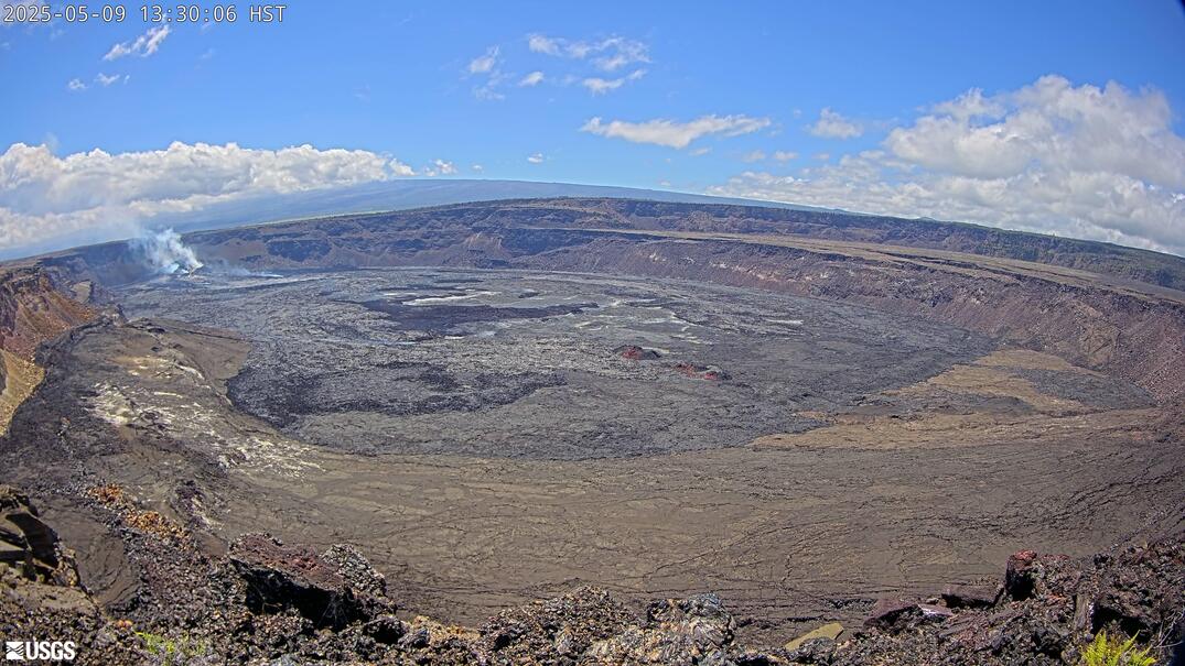
This USGS camera (MITD) looks toward Mauna Iki and the Southwest Rift Zone of Kīlauea, in the Kaʻū Desert on Hawaii Island. Mauna Iki is a small lava shield built during a 1919–1920 eruption along this rift — a reminder that the Southwest Rift, though quieter than the East Rift, does erupt. The surrounding desert is famous for the Footprints area, where people were caught in a deadly 1790 explosive eruption. The camera supports USGS Hawaiian Volcano Observatory monitoring of this stretch. Arid, vog-prone, near 3,000–4,000 feet. Hawaii observes no daylight saving.
Heading to Kilauea, Usgs? See the weather, the light and how busy it is for yourself before you go — this is the view right now, not a photo from a brochure.
At this camera
- Location
- 2.7 km (1.7 mi) SSW of Volcano Golf Course, HI
- Coordinates
- 19.4194, -155.2885
- Elevation
- 1,242 m (4,075 ft)
- Sunrise / sunset
- 6:15 AM / 6:01 PM HST (11 h 46 min of daylight today)
- Weather station
- PHTO Hilo Intl, 42 km (26 mi) away
‹/› Embed this camera on your website Free for any site — copy the code, keep the credit line.
The player stays live and auto-updates — no maintenance on your end. Feed problems? It falls back gracefully.
You Might Also Like
Fetching local weather…
Volcano & Seismic Activity
Forecast data: Open-Meteo · NOAA SWPC · USGS. Conditions are estimates.
Recommended Gear

As an Amazon Associate, we earn from qualifying purchases.