

About This Camera
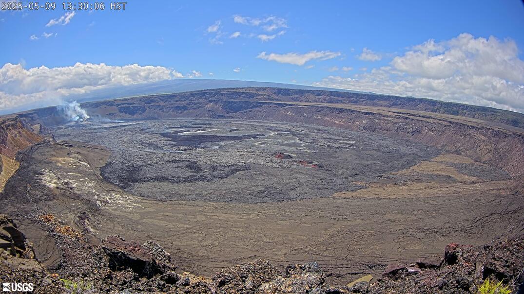
A USGS Hawaiian Volcano Observatory view (PE) of Puʻu ʻŌʻō from the east, on Kīlauea's middle East Rift Zone. From this side the camera frames the cone that anchored the 1983–2018 eruption — 35 years of near-continuous activity that reshaped the volcano's flank and added new land at the coast — and the vast field of lava it produced. Since the 2018 collapse and the lower-East-Rift eruption, the area has been quiet but is still monitored closely for renewed rift activity. The terrain is old lava slowly being reclaimed by rainforest. Hawaii keeps a single time zone year-round.
Heading to Kilauea, Usgs? See the weather, the light and how busy it is for yourself before you go — this is the view right now, not a photo from a brochure.
At this camera
- Location
- 2.7 km (1.7 mi) SSW of Volcano Golf Course, HI
- Coordinates
- 19.4194, -155.2885
- Elevation
- 1,242 m (4,075 ft)
- Sunrise / sunset
- 6:15 AM / 6:01 PM HST (11 h 46 min of daylight today)
- Weather station
- PHTO Hilo Intl, 42 km (26 mi) away
‹/› Embed this camera on your website Free for any site — copy the code, keep the credit line.
The player stays live and auto-updates — no maintenance on your end. Feed problems? It falls back gracefully.
You Might Also Like
Fetching local weather…
Volcano & Seismic Activity
Forecast data: Open-Meteo · NOAA SWPC · USGS. Conditions are estimates.
Recommended Gear

As an Amazon Associate, we earn from qualifying purchases.