

About This Camera
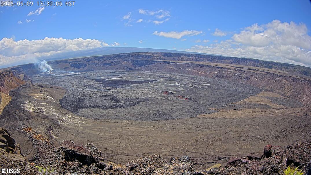
This USGS camera (V3) watches Halemaʻumaʻu and the summit caldera of Kīlauea from a southern viewpoint. Each of the summit cameras frames the crater differently, and the south view helps complete the panorama scientists use to track eruptions, lava-lake levels, and changes to the crater floor at one of the world's most active volcanoes, on the Big Island of Hawaii.
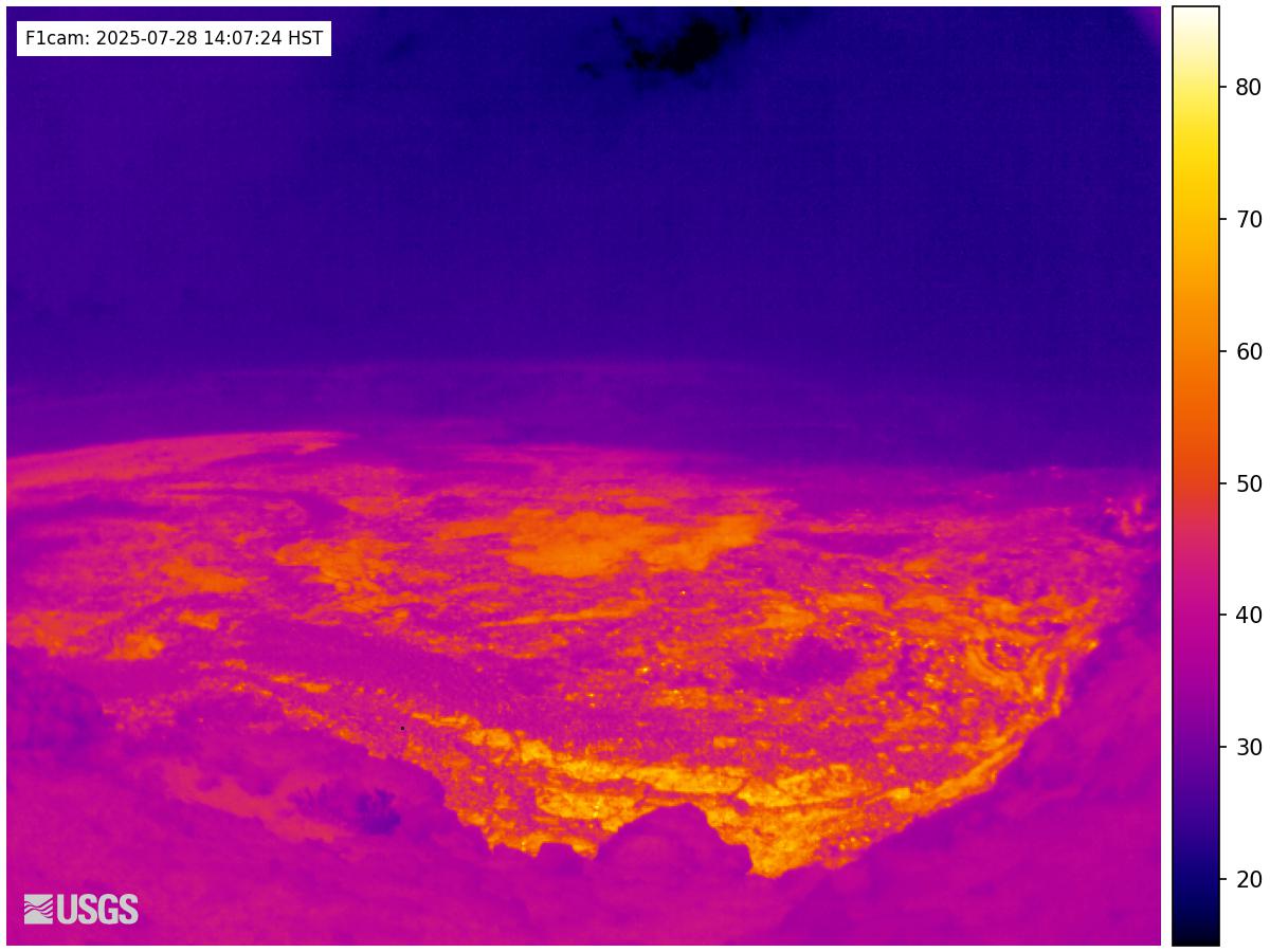
During eruptive episodes the feed may show fountaining, glowing vents, and an active lava surface — most striking after dark — while quiet periods reveal the steaming, collapse-scarred floor of the caldera. The summit sits near 4,000 feet, where Hawaiian weather can turn from clear to rain or vog within the hour. Hawaii stays on the same time year-round, with no daylight saving.
Operated by the USGS Hawaiian Volcano Observatory inside Hawaiʻi Volcanoes National Park, this camera is one node in a dense monitoring network. Kīlauea has erupted repeatedly in recent years, often with little warning, so the live summit views are among the most reliable ways to see active lava in real time anywhere on the planet.
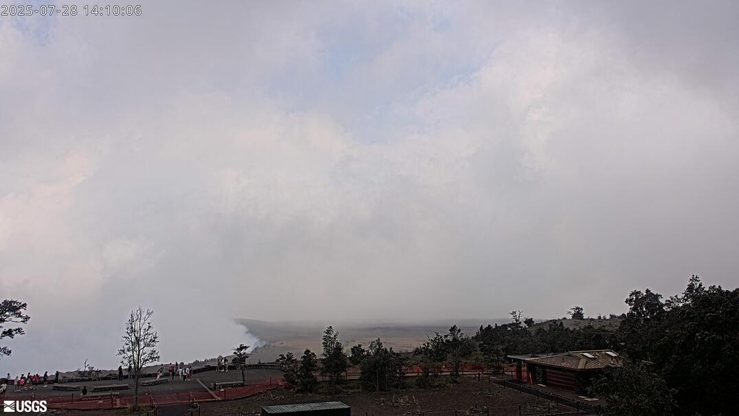
Heading to Kilauea, Usgs? See the weather, the light and how busy it is for yourself before you go — this is the view right now, not a photo from a brochure.
At this camera
- Location
- 2.7 km (1.7 mi) SSW of Volcano Golf Course, HI
- Coordinates
- 19.4194, -155.2885
- Elevation
- 1,242 m (4,075 ft)
- Sunrise / sunset
- 6:15 AM / 6:01 PM HST (11 h 46 min of daylight today)
- Weather station
- PHTO Hilo Intl, 42 km (26 mi) away
‹/› Embed this camera on your website Free for any site — copy the code, keep the credit line.
The player stays live and auto-updates — no maintenance on your end. Feed problems? It falls back gracefully.
You Might Also Like
Fetching local weather…
Volcano & Seismic Activity
Forecast data: Open-Meteo · NOAA SWPC · USGS. Conditions are estimates.
Recommended Gear

As an Amazon Associate, we earn from qualifying purchases.